Welcome
This space is for practitioners working in flood adaptation. We're committed to building it out with technical and other resources you would like to have access to, as well as information you think would be helpful to share. If you have a resource or a request - please use the forms below to get in touch with us. We'll be updating this section on a regular basis so continue to check back.
Common Questions
Municipalities can address flood risk in differnt ways including:
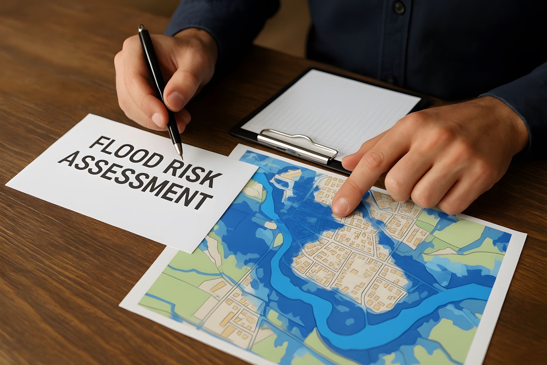
- Overlaying flood maps with municipal assets and capital projects
- Developing internal checklists for staff involved in land-use planning and other functions impacted by flooding
- Understanding which departments use flood data and for what decision-making processes
Have other examples from your municipalities - send us a note!
There are different approaches to flood planning based on the infrastrcuture and developments municipalities are considering:
- The framework for land-use planning considers the 'floodway' and the 'floodway fringe' which correspond to yearly statistical likelihoods of flooding. With a 1-in-20 floodway, there's a 5% chance of flooding every year. With a 1-in-100 floodway, there's a 1% chance of flooding every year. The provincial government and municipalities have guidelines, and restrictions for land use in these areas.
- Canada's National Adaptation Strategy recognizes that communities can't build there way out of the impacts of flooding. Engineering and construction solutions are not always sufficient or feasible. When municipaliteis are considering infrastructure from stormwater systems to bridges to hospitals, adaptation includes assessing risk and preparing for emergencies.
Different factors can be applied when prioritizing flood protection. Examples include:
- Exposure (is the asset in a floodplain)
- Consequence (would it affect public safety)
- Feasitbility (cost and risk)
Some municipalities have also begun considering community vulnerability by overlaying neighbourhood demographic and economic factors on flood mapping data.
The Resources section of this website provides tools used across the country relating to risk assessment and asset management.
Flood risk is about being prepared and respecting priorities many communities value. Things like:
- Evacuation and detour plans
- Protecting property
- Responsible growth and environmental protection
- Safeguarding community assets like schools, hospitals, and recreation centres
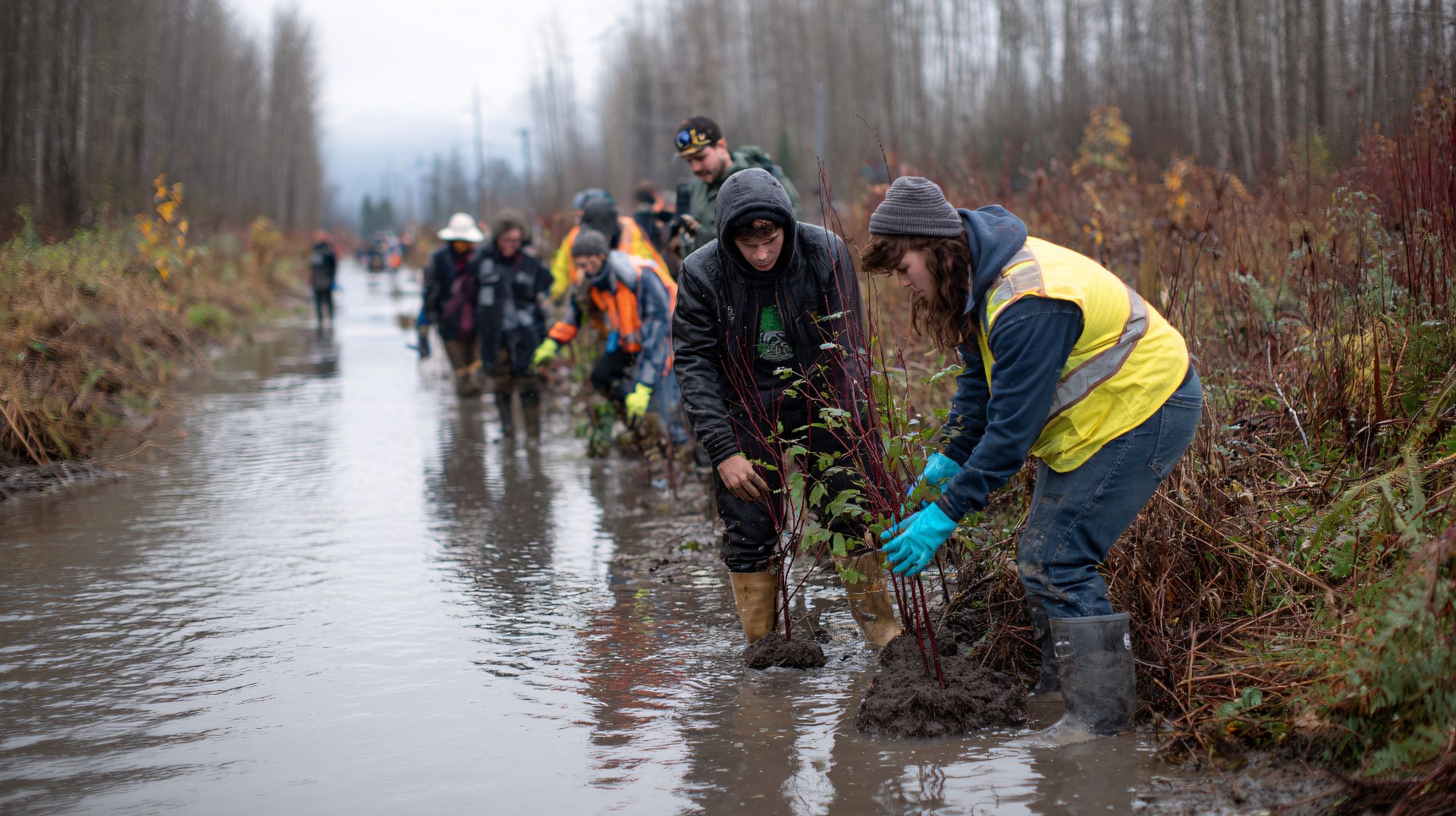
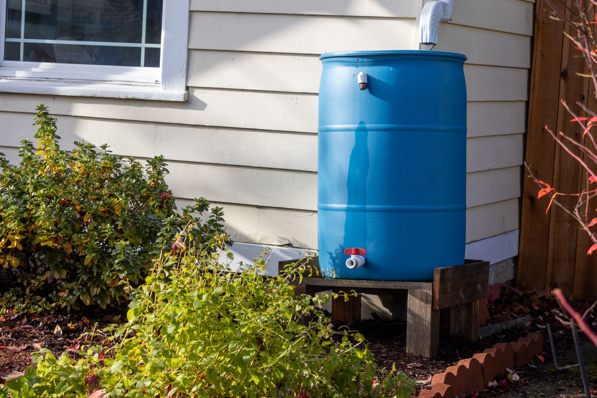
Local governments are in a good position to provide information to residents - like tips on home flood protection. Residents can also be inovelved in collecting, analyzing, and recording flood data. The Public Education tab in our Resources section provides some examples.
Submit a question
We Want to Hear From You
- Send us a resource you think will benefit municipalities with flood adaptation.
- Don't see what you're looking for? Let us know what type of information or resource you'd like us to consider providing.
Submit resources
Financial support for this project was provided in part by Natural Resources Canada through the Flood Hazard Identification and Mapping Program (FHIMP). We also gratefully acknowledge the funding and support provided by the Government of Nova Scotia through the Municipal Flood Line Mapping Program (MFLMP).

